
A landscape to fly into
I went to Canyon du Diable with a simple idea: I wanted to enjoy a flight that felt a little like something out of Star Wars. An unfamiliar landscape, folds in the ground, and the pleasure of seeing the terrain open up through movement. The sense of escape was the reason for going.
On September 15, 2026, I took a DJI Avata 2, flying in Sport mode, to this red landscape at Saint-Jean-de-la-Blaquière in Hérault, southern France. The place felt deserted during my visit. Its bare slopes and ravines were an inviting setting for that imagined journey.
The film and the photographs below approach the same terrain at different speeds. In the film, the camera carries the eye from one shape to the next. In the photographs, there is time to stop and explore what those shapes contain.
Watch the flight
Watch my Canyon du Diable flight on YouTube.
Filmed on September 15, 2026, with a DJI Avata 2 in Sport mode. The link opens the film on YouTube.
As you watch, look for the relationship between the nearer ground and the hills behind it. That changing relationship is central to the kind of image I wanted to make: a landscape discovered through the camera’s movement.
Red earth in Mediterranean France
For readers unfamiliar with the area, Hérault is in Occitanie, in the south of France. The local red terrain is known as ruffes. Hérault’s tourism office includes the region’s red Permian ruffes among the landscapes of the Terres d’Hérault Geopark.
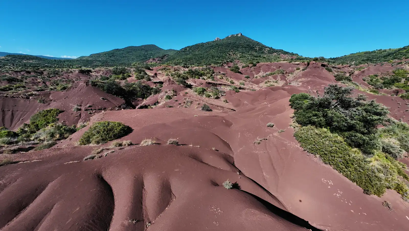
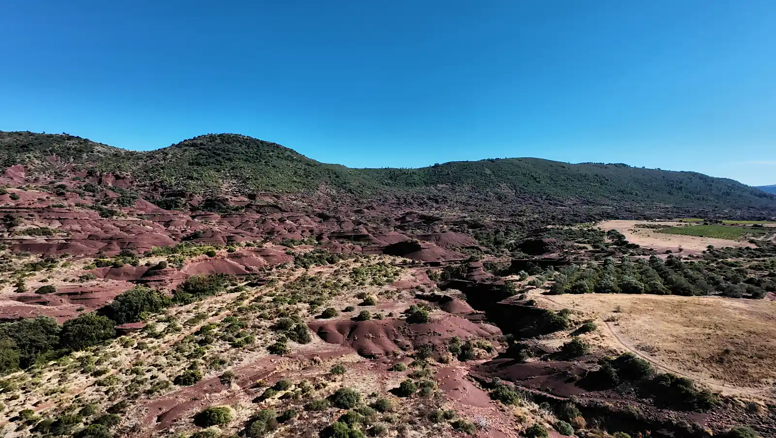
In these photographs, the reds sit against green vegetation, pale ground, and blue sky. The wider view also reveals neighboring fields. Those details give the scene a particular character: the otherworldly feeling exists within a living Mediterranean landscape.
Let the terrain give the camera a direction
For this outing, the appeal of the Avata 2 was its immersive approach to movement. FPV means first-person view: the aircraft’s camera supplies the pilot’s view of the scene. That perspective suited my desire to experience the landscape as a journey.
My intention with Sport mode was to give the flight rhythm while leaving time to understand the terrain. A ridge, a hollow, and another slope can form a visual progression. A clear direction helps the viewer connect them as the camera moves.
The selected cover photograph shows why this place suggested that approach. Rounded ridges occupy the foreground, dark gullies divide them, and a green hill anchors the background. There are several distances within a single composition. Movement can change their relationship; a still image holds it in place.
What the photographs let me keep
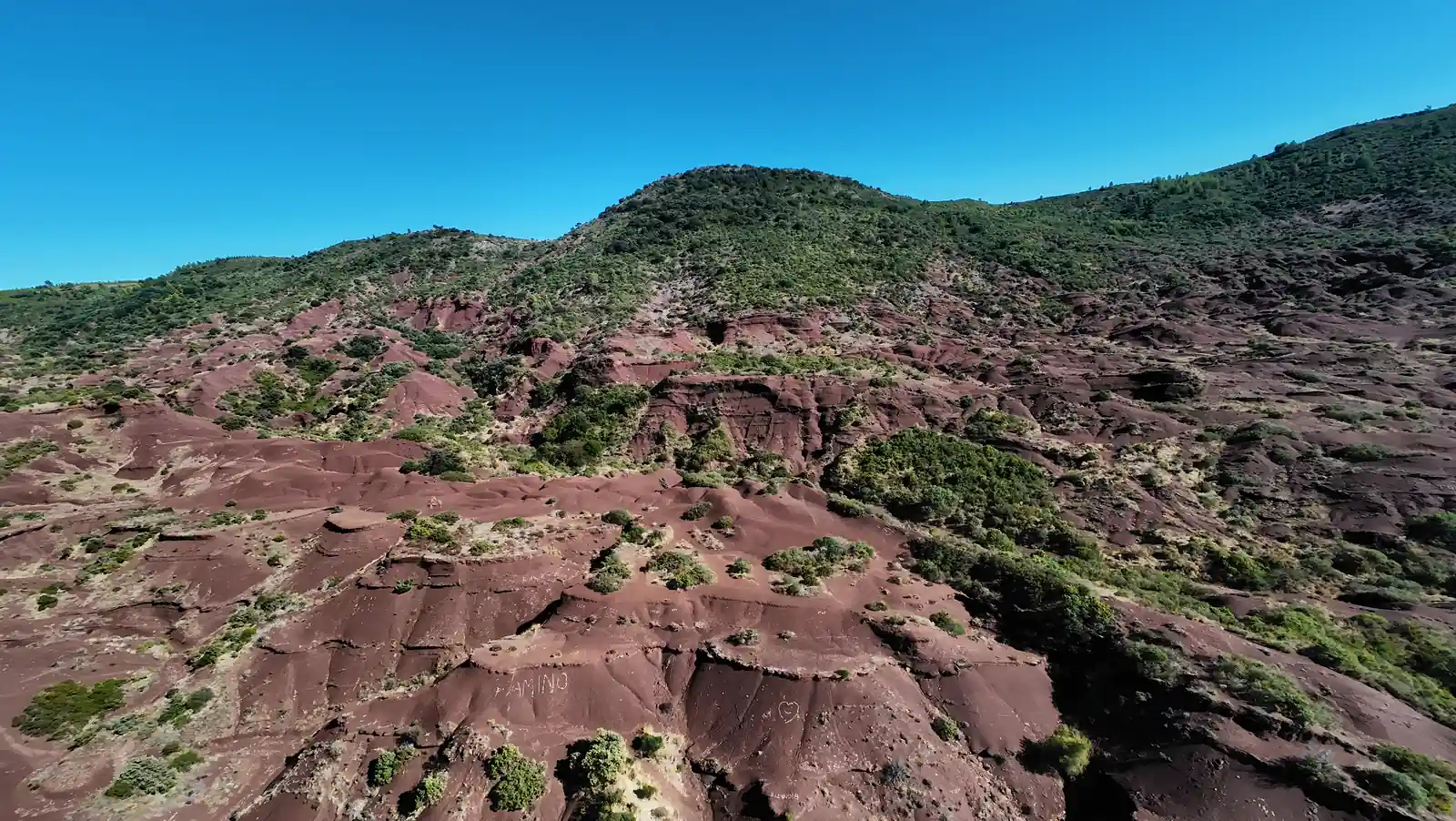
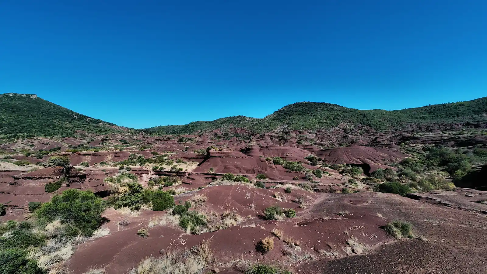
The still photographs make the layers of the ground especially clear. Broad red surfaces are broken by small channels, ledges, and deeper shadows. Vegetation interrupts the color and helps the eye judge the size of the surrounding forms.
There is also a useful compositional contrast between the wide view and the image below. Here, a distinct mound gives the eye a place to settle. The surrounding ridges become supporting shapes. That is a useful question to bring to any landscape sequence: what should the viewer notice first?
Preparing space for the experience
The practical lesson I would carry into a similar outing is to decide on a readable line before looking for speed. Identify a beginning, a direction, and a clear way to finish or interrupt the shot. Walking the site beforehand can help turn an appealing shape into a considered camera movement.
Battery planning belongs to that preparation. Reconnaissance, repeated attempts, and repositioning all draw on the energy available for returning and landing. The duration of the finished film tells only part of that story.
For anyone visiting from the United States, check the rules that apply at the destination before planning a flight. In France, consult the DGAC’s open-category guide and current local airspace restrictions. Section 9.3 addresses immersive FPV flight and the observer beside the pilot who maintains direct sight of the aircraft and monitors its surroundings. Access, weather, people nearby, and temporary restrictions must also be checked for the actual outing; this account is not a site clearance.
What drew me here remains the simplest part of the story: the pleasure of imagining a flight, then giving it a real landscape. The red folds supplied the setting. The moving camera supplied the journey. The photographs gave me places to pause afterward.
Equipment for this kind of outing
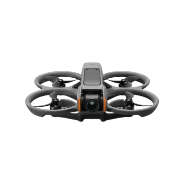
The DJI Avata 2 Fly More Combo listed below is the version with DJI Goggles 3, RC Motion 3, three flight batteries, a charging hub, and a sling bag. Check those exact contents when comparing offers, since other Avata 2 packages use different goggles or battery counts. My field account confirms the aircraft and Sport mode; this equipment selection does not imply that I used every item in this bundle on the outing.
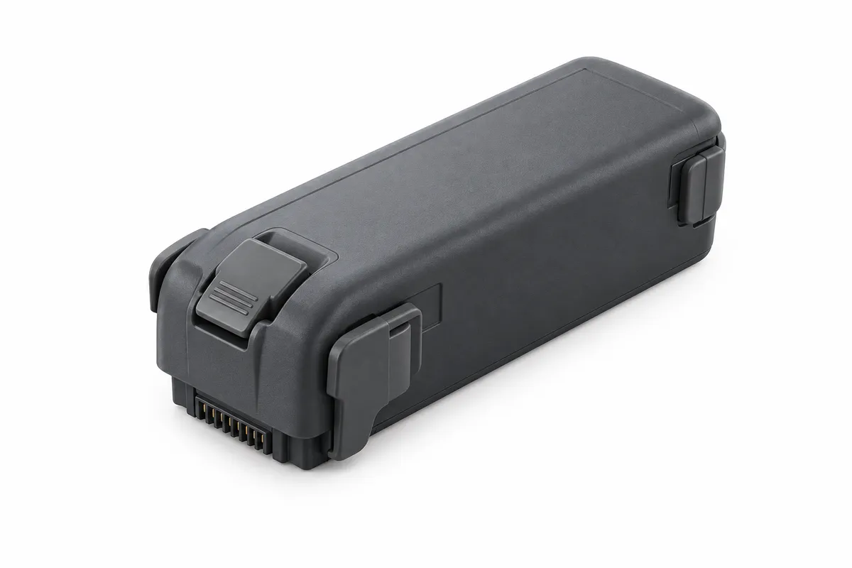
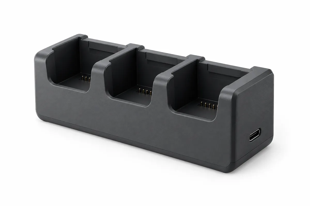
The Intelligent Flight Battery and Two-Way Charging Hub are also listed separately for existing owners. The three-battery combo already includes a hub and three batteries. The separate accessories are optional additions or replacements. DJI specifies sequential charging for the hub with a compatible power supply. Accessory images below are conceptual editorial illustrations.
Recommended gear
Explore the products in this guide
Review the key fit for each recommendation, then confirm the current offer and seller details directly on Amazon.
DJI
DJI Avata 2 Fly More Combo
The DJI Avata 2 is an FPV system for immersive, moving viewpoints with goggles and a compatible controller. Its role differs from a conventional drone used to compose distant landscape stills.
DJI
DJI Avata 2 Intelligent Flight Battery
Best for: An additional battery for an existing Avata 2 kit
A compatible spare for planning further flights. The three-battery Fly More Combo already includes three batteries; this is an optional extra or replacement.
DJI
DJI Avata 2 Two-Way Charging Hub
Best for: Sequential charging of up to three Avata 2 batteries
For charging between sessions with a compatible power supply. The three-battery Fly More Combo already includes a hub; buy separately only for a replacement or additional setup.
Transparent evidence
Method and limitations
Adapted from Philippe Contal's account of his September 15, 2026 outing, his stated creative intention, and four selected photographs supplied by him. The linked video is the photographer's film. Location context and flight-planning references are linked separately.
- No measured wind, flight altitude, speed, battery endurance, or exposure settings are reported.
- This account does not establish current permission to fly at the location.
Five key takeaways
- The creative starting point was the feeling of flying through an unfamiliar world.
- Foreground ridges, shadowed gullies, and distant hills give a moving camera distinct layers to work with.
- A clear visual direction lets viewers follow the landscape as the perspective changes.
- Still photographs provide time to examine details that pass quickly in a moving sequence.
- The aircraft used was a DJI Avata 2 in Sport mode; this outing was not a controlled drone review.
Primary sources
- youtube.com · Verified 2026-09-16
- herault-tourisme.com · Verified 2026-09-16
- ecologie.gouv.fr · Verified 2026-09-16